Destinations
29 places across the province, sorted by region from north to south.
North & San Jorge Gulf
Caleta Olivia, Pico Truncado, Las Heras, Jaramillo, Fitz Roy and Puerto Deseado.
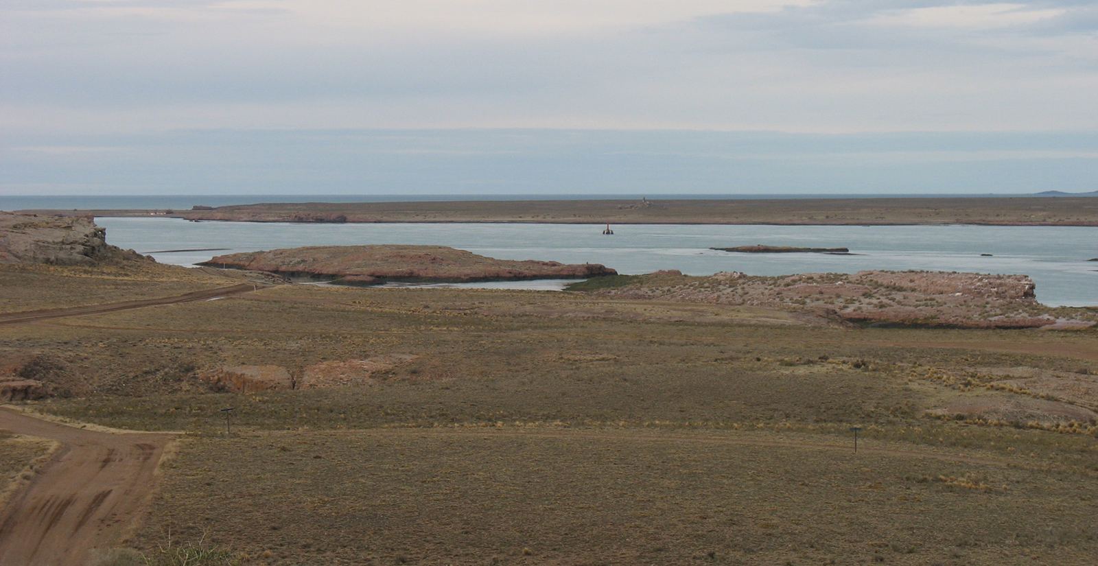
Photo: Mikelzubi · CC BY-SA 4.0 · Wikimedia Commons
North coast · Deseado estuary
Puerto Deseado
A 40 km estuary carved into the plateau, with dolphins and cormorants minutes from the harbor and rockhopper penguins out at sea.
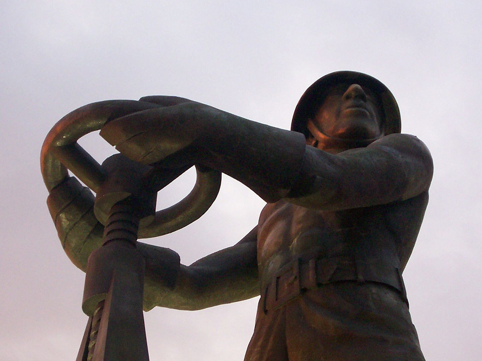
Photo: Ulises Icardi · CC BY-SA 4.0 · Wikimedia Commons
North · San Jorge Gulf
Caleta Olivia
The northern gateway to the province: cliffs, a 4.5 km coastal promenade and the Gorosito, the monument to the oil worker.
Photo: Daniel Alegre · Public domain · Wikimedia Commons
North · Deseado Massif
Pico Truncado
Argentina's National Hydrogen Capital and the gateway to the MARA Route, an open-air museum in the Deseado Massif.
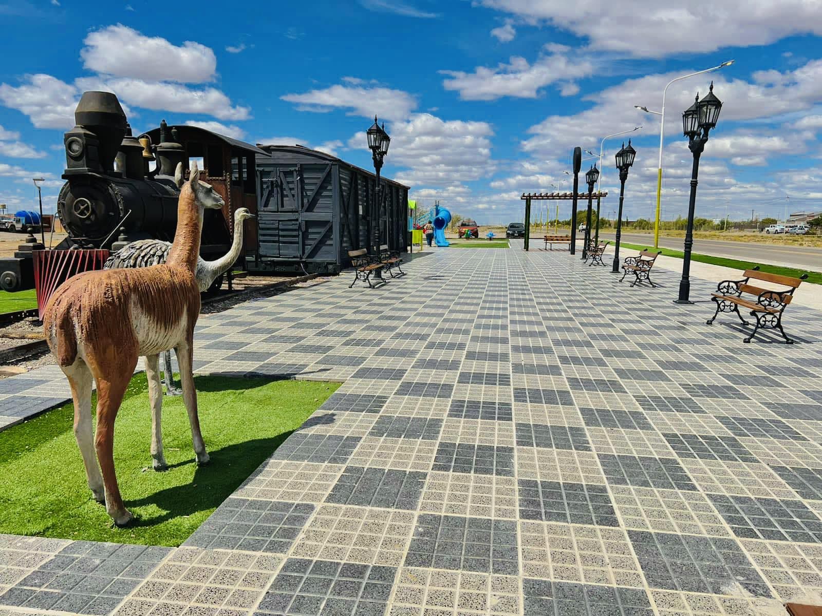
Photo: josema carambia · CC BY-SA 4.0 · Wikimedia Commons
North · Steppe
Las Heras
The last station of the Patagonian Railway, deep in the steppe and surrounded by canyons.
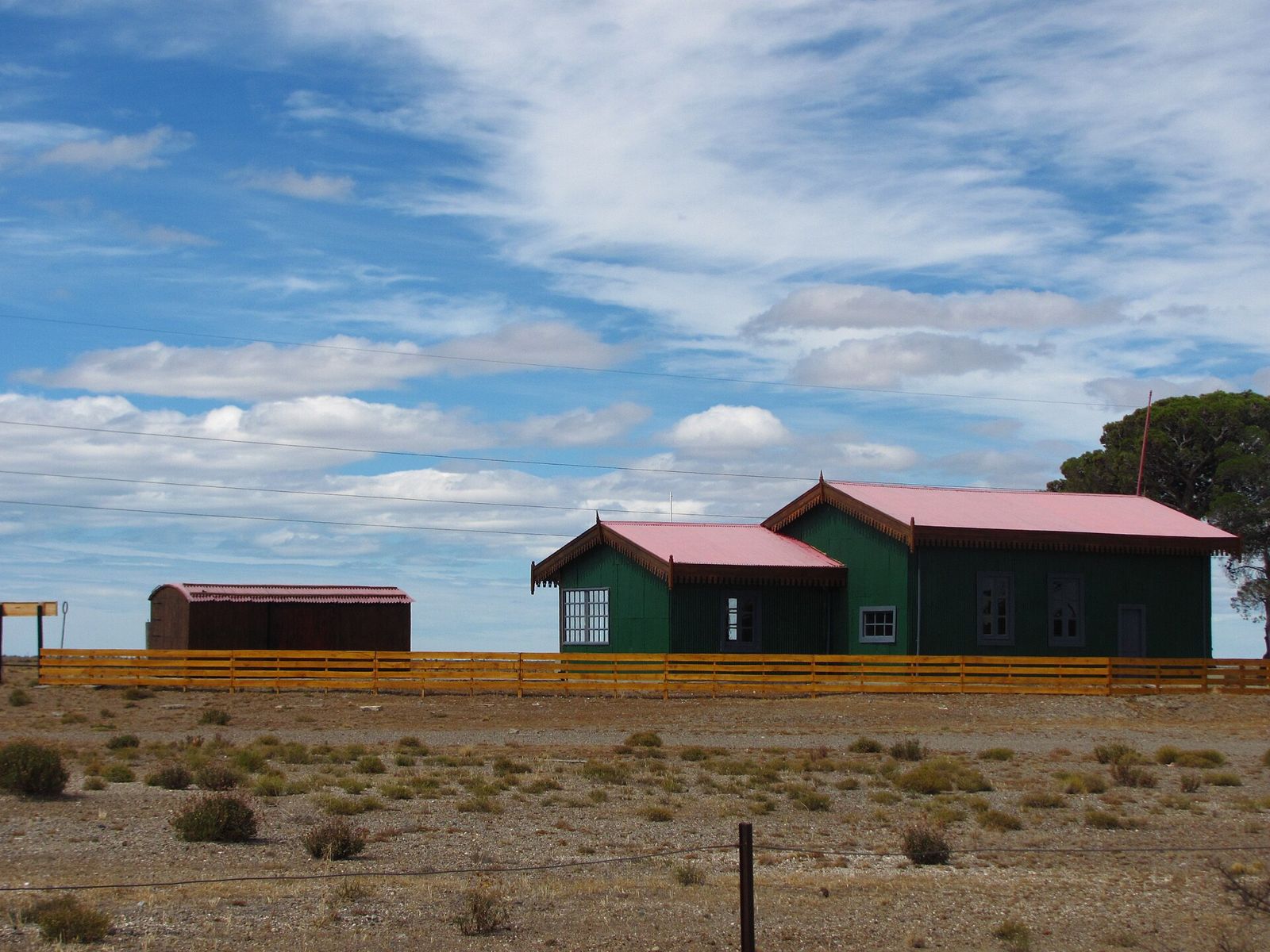
Photo: Mikelzubi · CC BY-SA 4.0 · Wikimedia Commons
North · Route 3
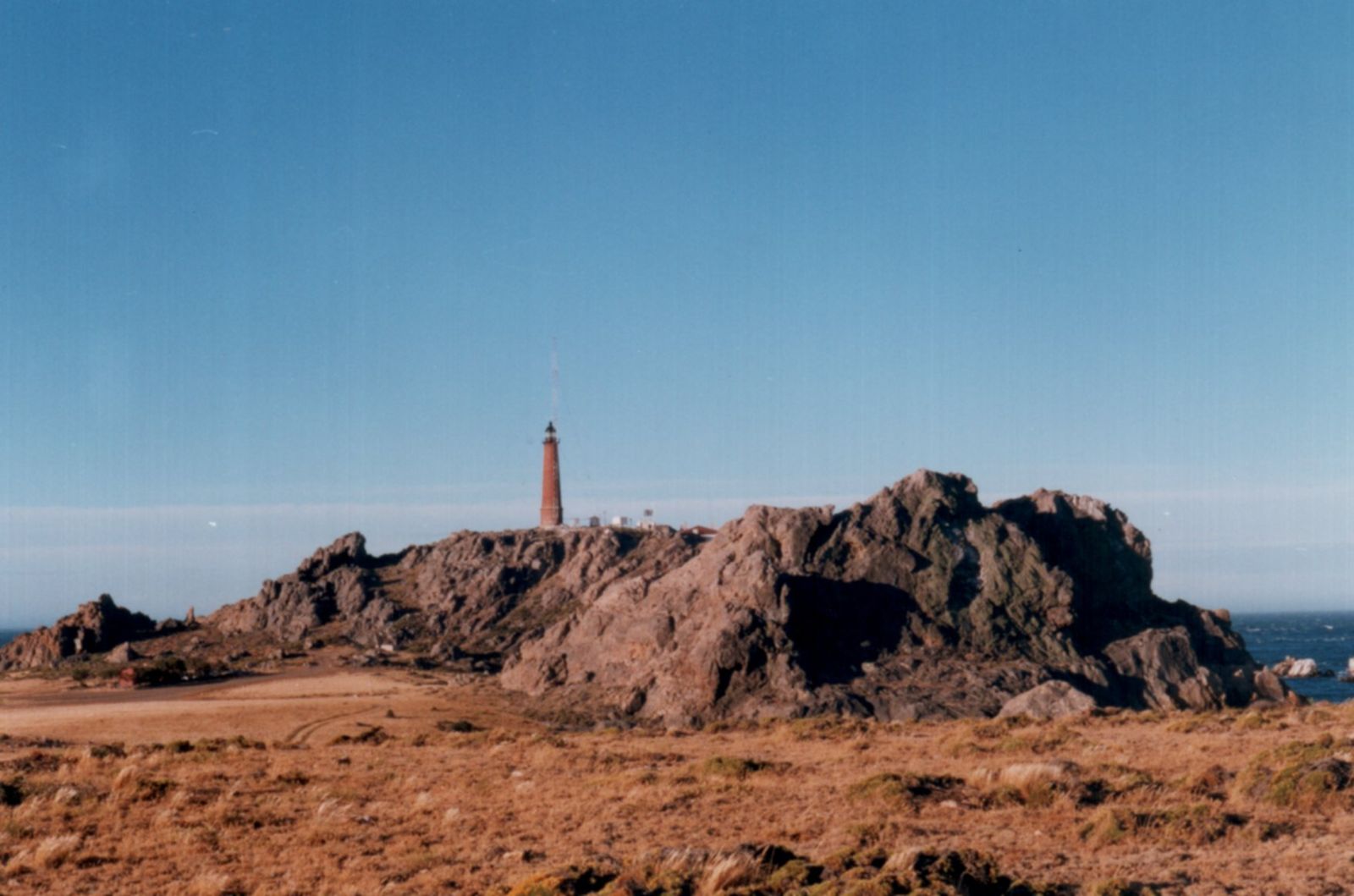
Jaramillo and Fitz Roy
Two former Patagonian Railway stations, 19 km apart: stone houses, Ice Age fossils and the story of Facón Grande.
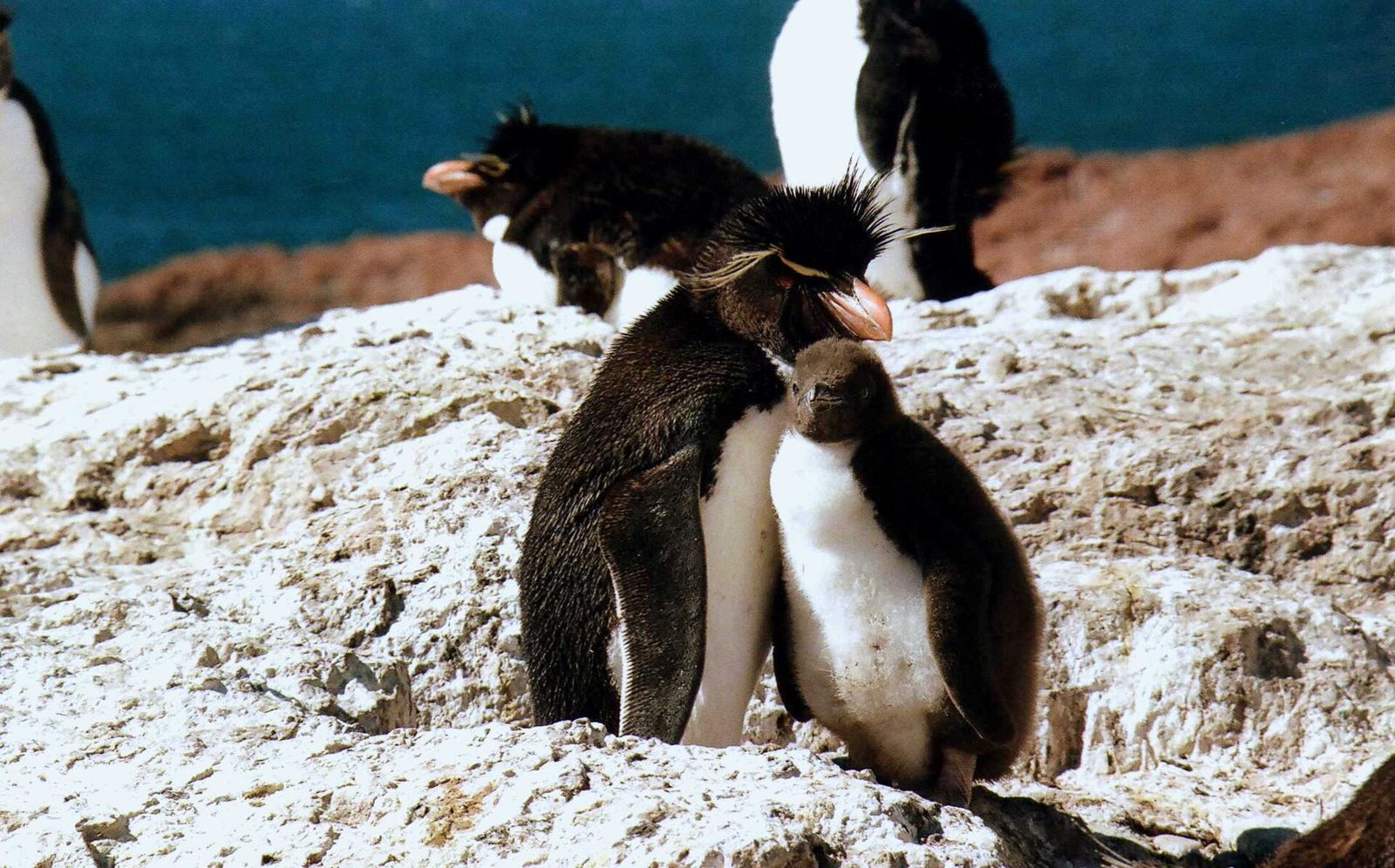
Photo: rodoluca · CC BY-SA 3.0 · Wikimedia Commons
North · Marine park
Penguin Island and the Deseado Estuary
Rockhopper penguins, sea lions and elephant seals off Puerto Deseado, reachable only by sea.
Central plateau
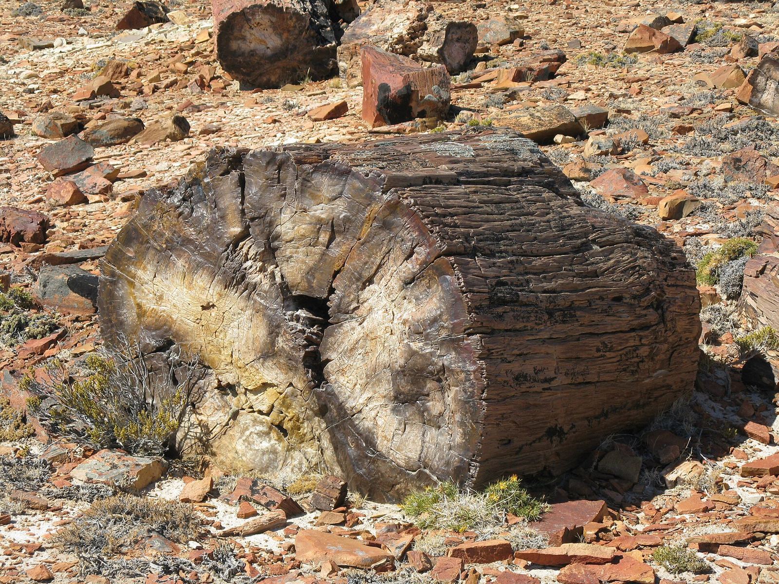
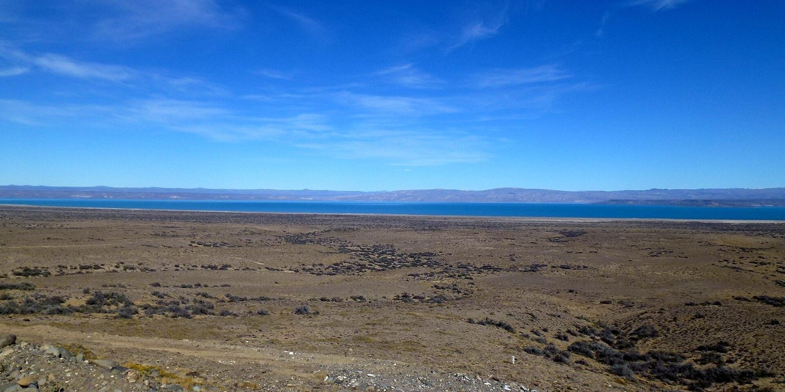
Petrified forests, fishing lakes and the history of 1921.
Atlantic coast (Route 3)
Bays, penguin colonies and historic towns, from San Julián to Río Gallegos.
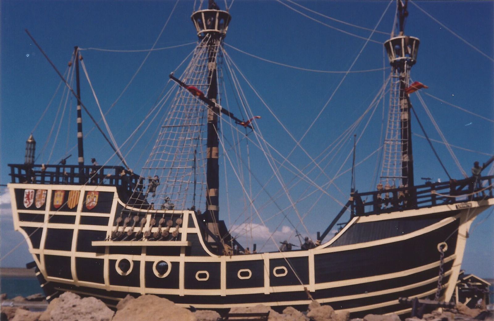
Photo: Gastón Cuello · CC BY-SA 4.0 · Wikimedia Commons
Coast · Route 3
Puerto San Julián
The bay where Magellan's expedition spent the winter of 1520 — today a small town on Route 3, with marine wildlife just minutes from the center.
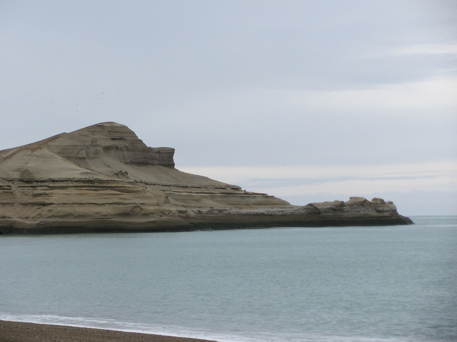
Photo: Mikelzubi · CC BY 3.0 · Wikimedia Commons
Coast · Route 3 km 2400
Monte León National Park
36 km of cliffs and beaches, a penguin colony 40 minutes' walk away and a peninsula shaped like a lion lying down.
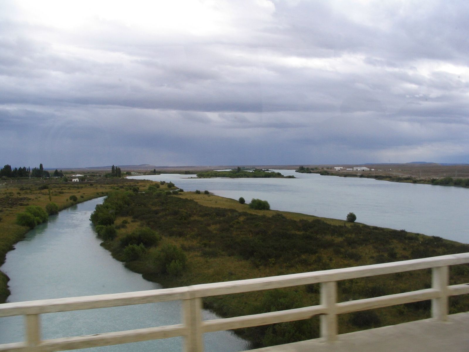
Andes & Route 40
Lakes, rock art, glaciers and trekking from the northwest to the southwest.
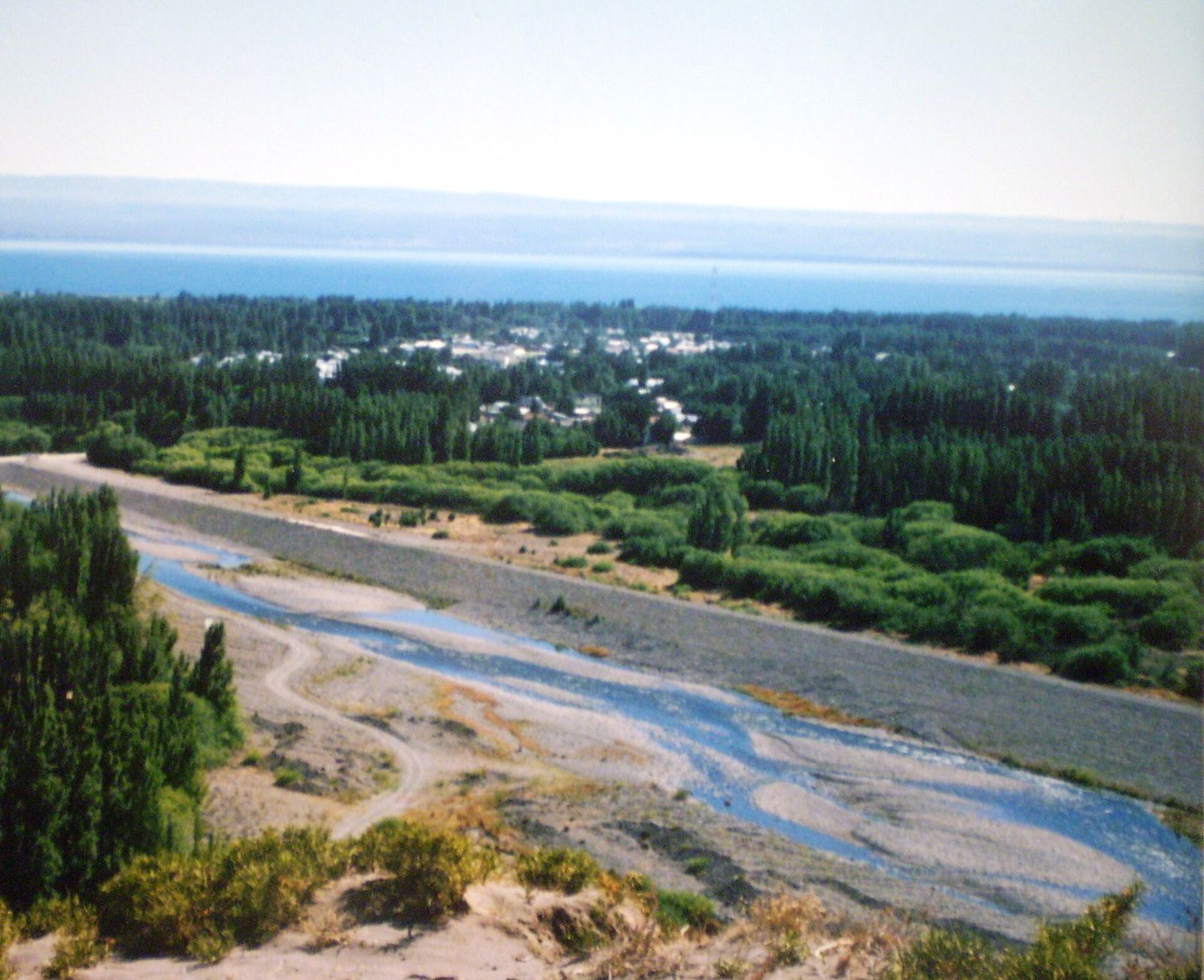
Photo: Claudio Elias · Public domain · Wikimedia Commons
Northwest · Lake Buenos Aires
Los Antiguos
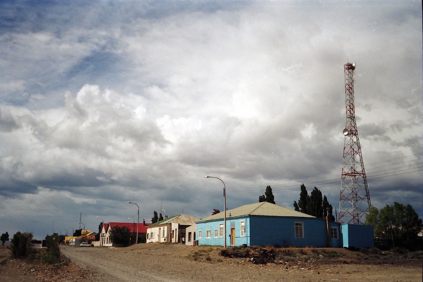
Cherry orchards on the shores of Lake Buenos Aires, a stone's throw from Chile. A rare microclimate in the middle of the steppe.
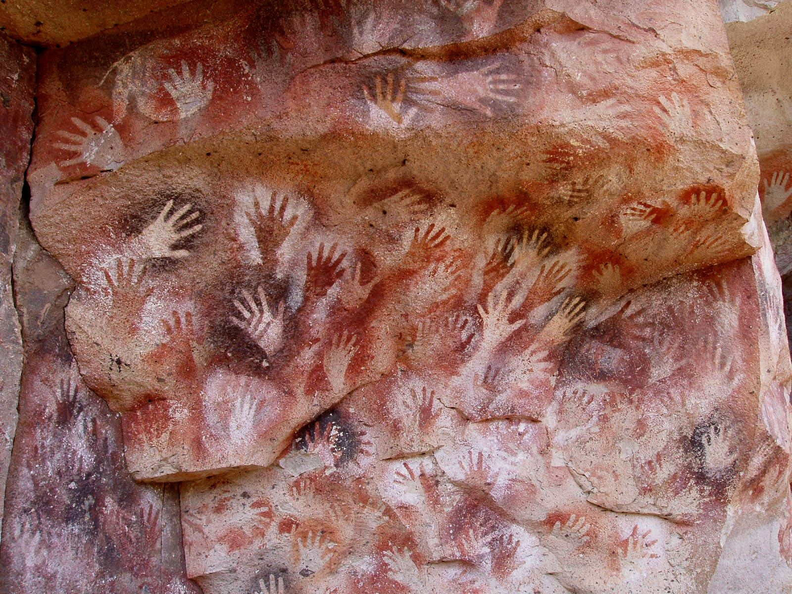
Photo: Mariano · Public domain · Wikimedia Commons
Route 40 · Río Pinturas
Cueva de las Manos
Negative hand stencils, guanacos and hunting scenes painted in the Río Pinturas canyon. A World Heritage Site since 1999.
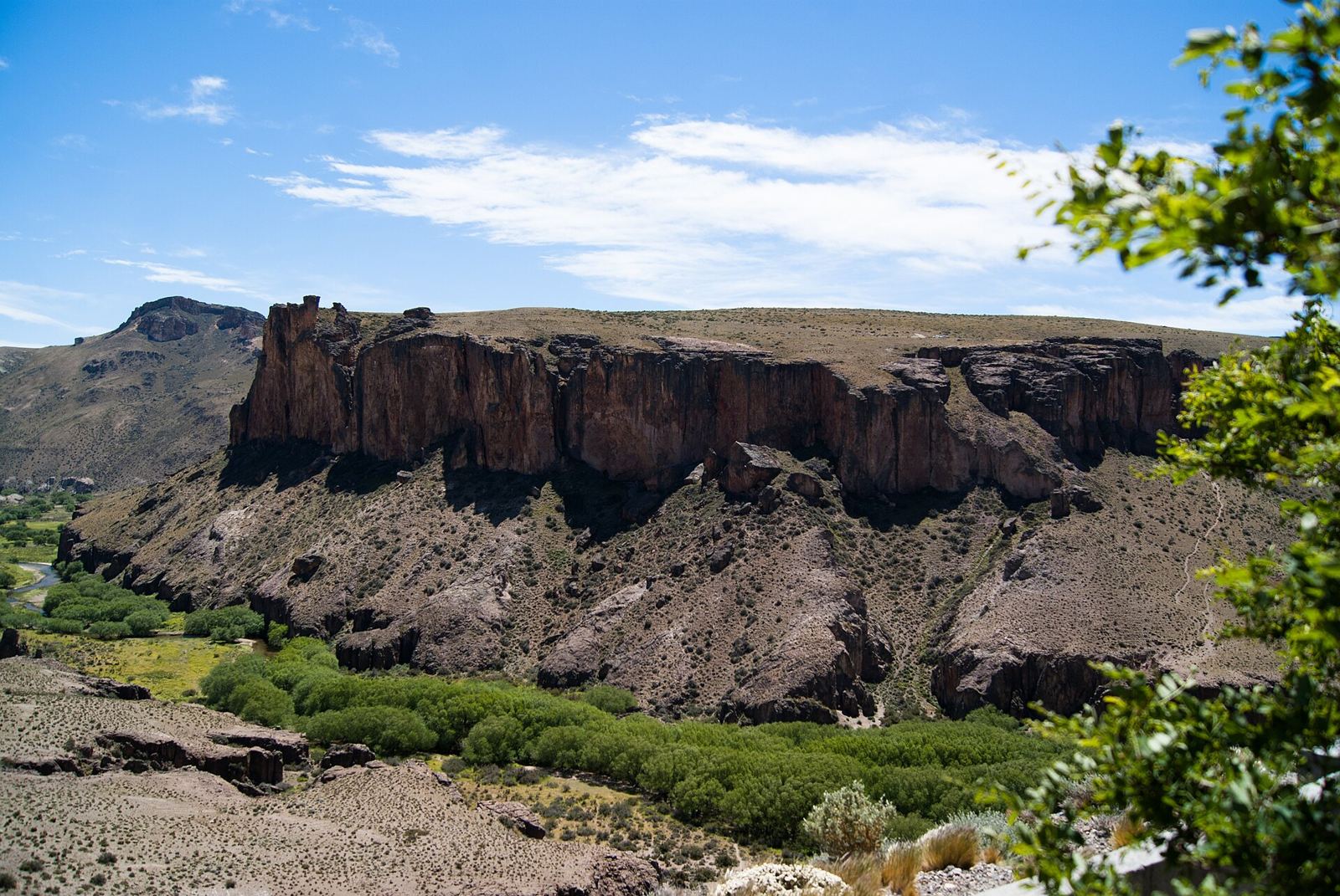
Photo: LuigiStudio · CC BY-SA 4.0 · Wikimedia Commons
Route 40 · Cañadón Pinturas · La Ascensión
Parque Patagonia
Steppe, canyons and wildlife: pumas, guanacos and lesser rheas. A new park that combines a National Park with portals run by a foundation.
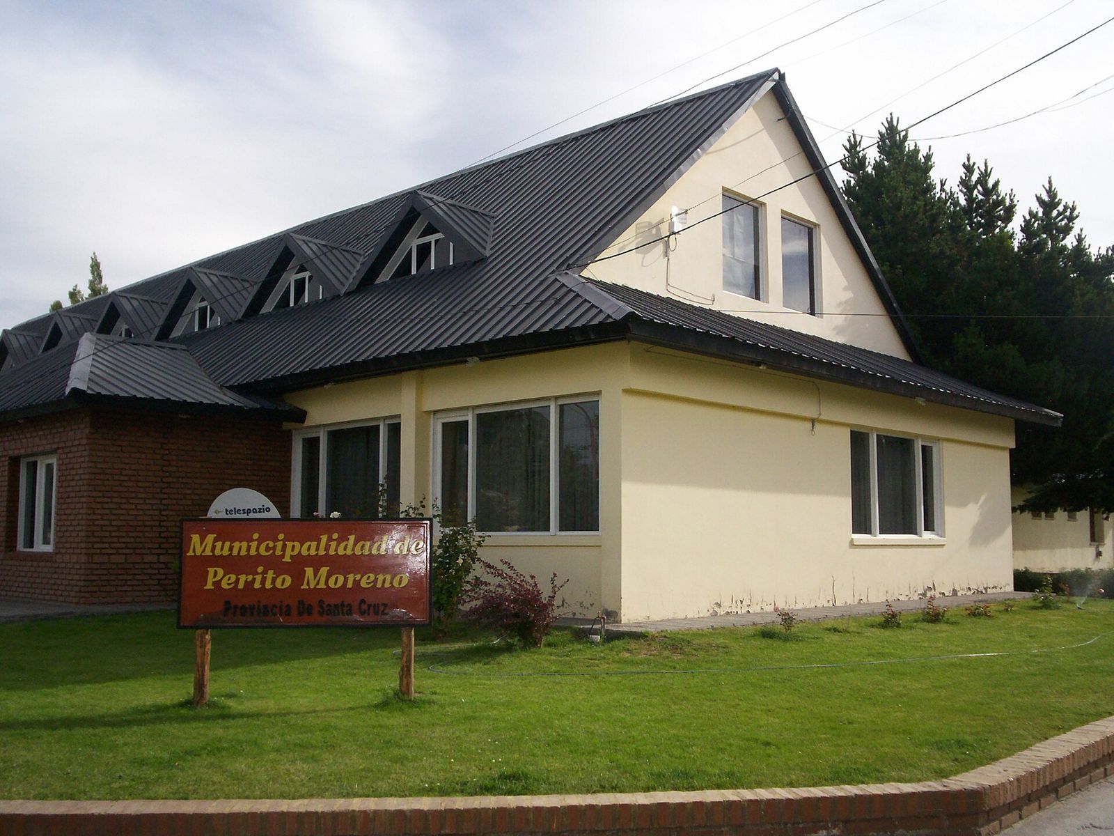
Photo: Ulises Icardi · CC BY-SA 4.0 · Wikimedia Commons
Route 40 · Archaeological Capital
Perito Moreno
The base town of the northwest: from here you head out to the Cueva de las Manos, Parque Patagonia and Los Antiguos.
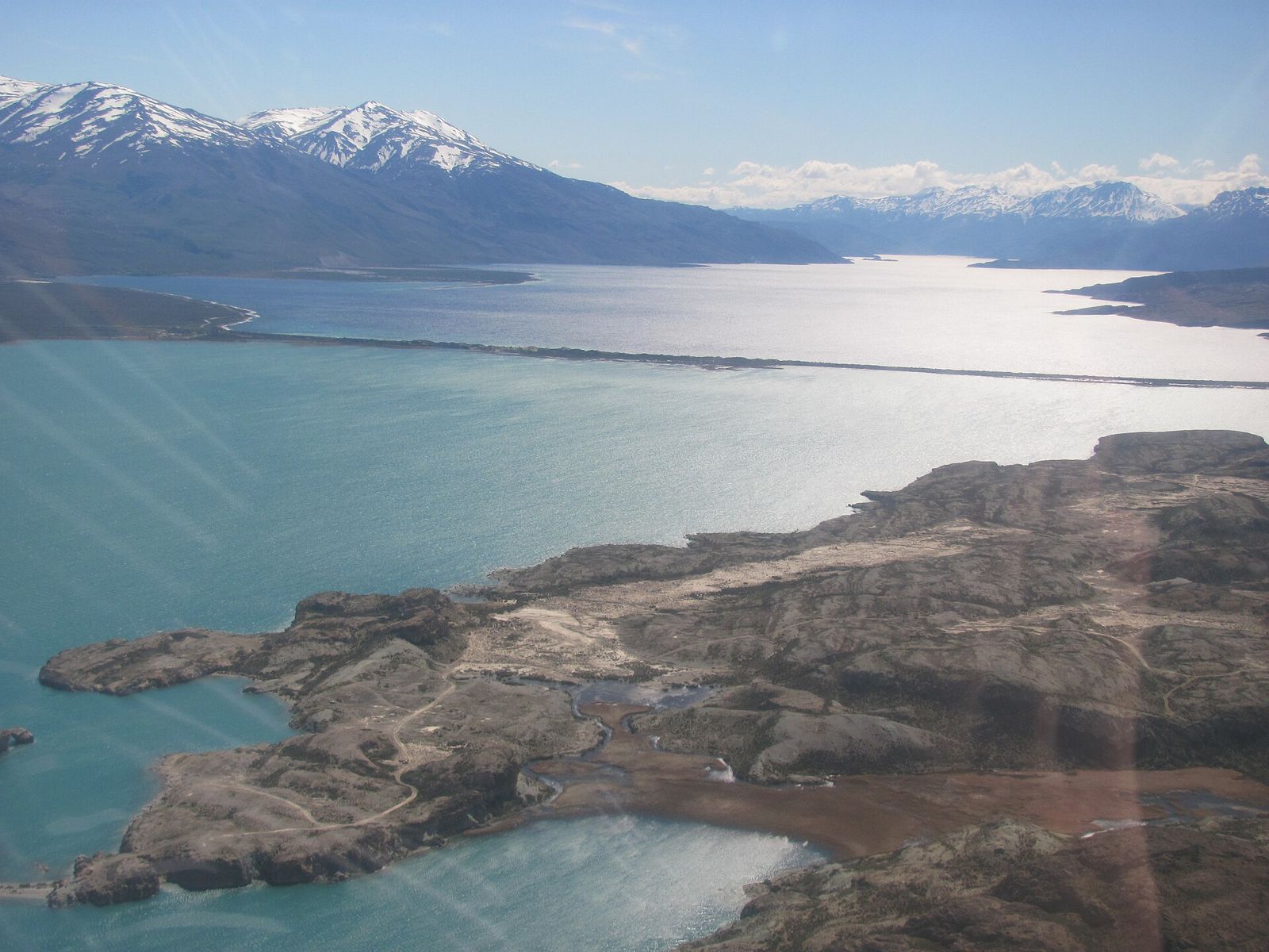
Photo: Ppviorgullo · CC BY-SA 4.0 · Wikimedia Commons
Route 40 · Lakes Posadas and Pueyrredón
Lago Posadas
Two lakes of different colors separated by an isthmus, rock art and one of the smallest, most remote villages in the province.
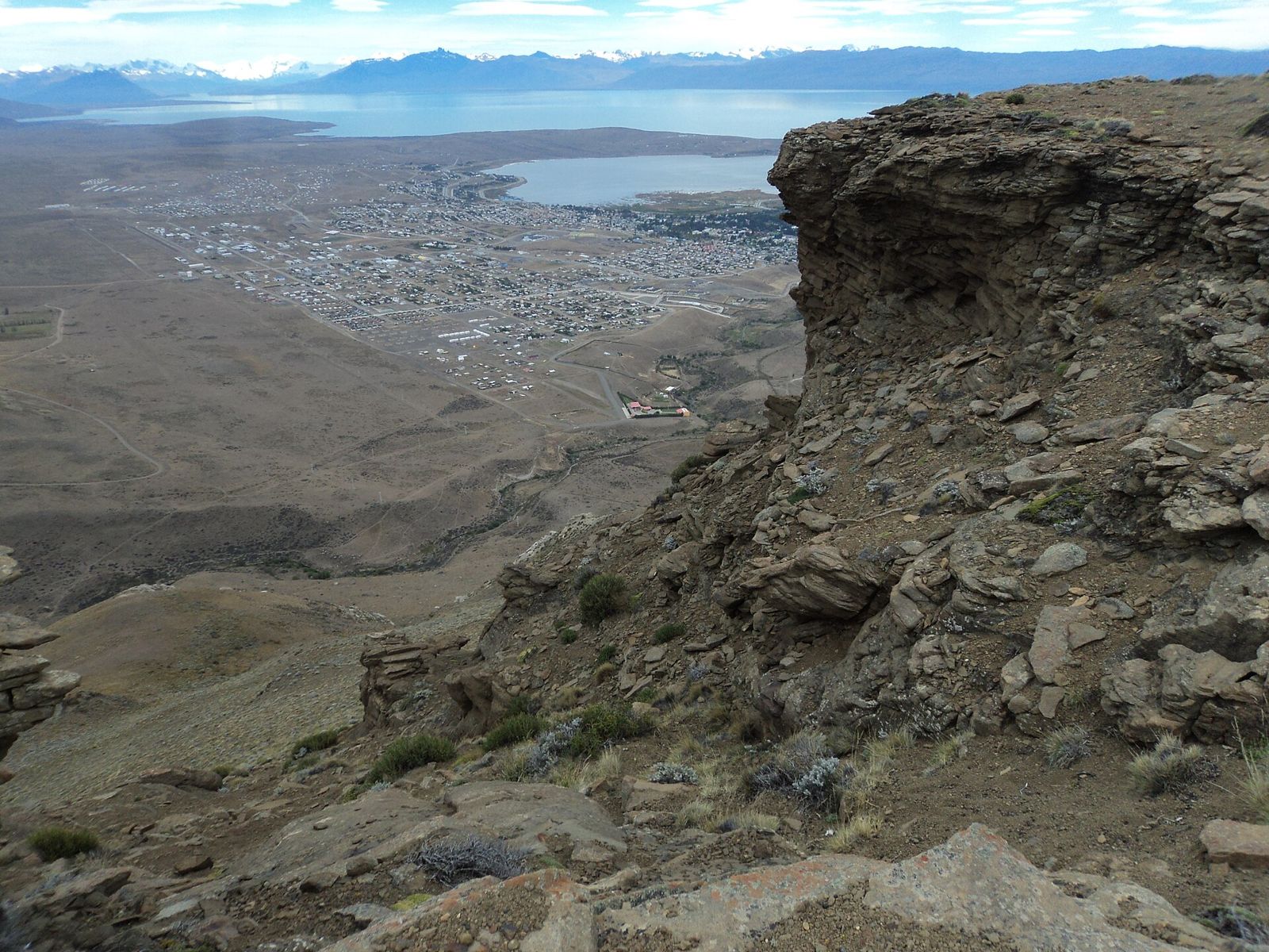
Photo: Fernando de Gorocica · CC BY-SA 4.0 · Wikimedia Commons
Andes · Lake Argentino
El Calafate
The star of Patagonian tourism, on Lake Argentino and the gateway to the Perito Moreno Glacier.
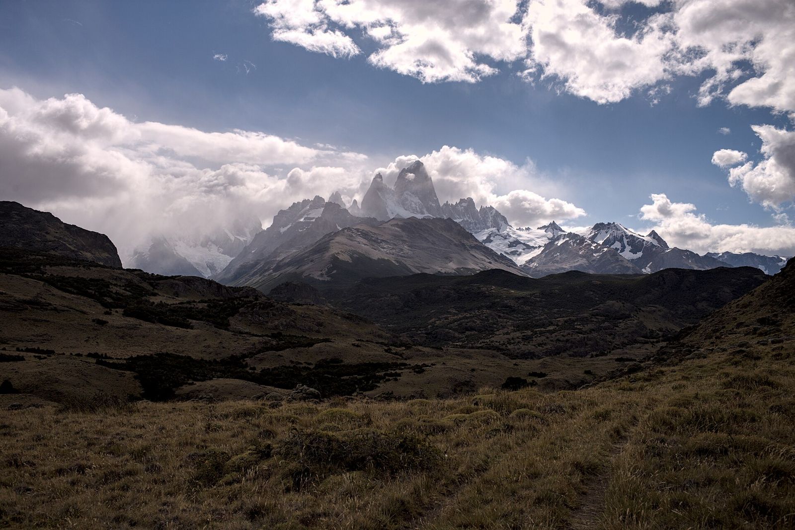
Photo: Gedankenstuecke · CC BY-SA 4.0 · Wikimedia Commons
Andes · National Trekking Capital
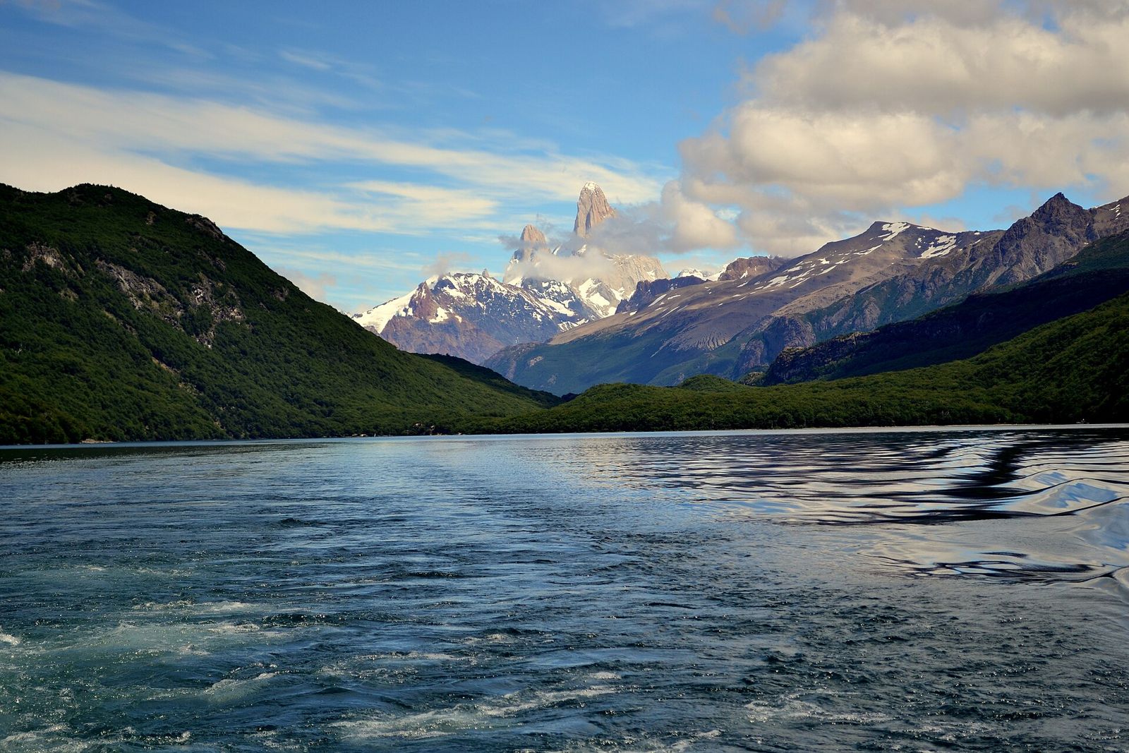
El Chaltén
More than fifty trekking routes at the foot of Fitz Roy and Cerro Torre.
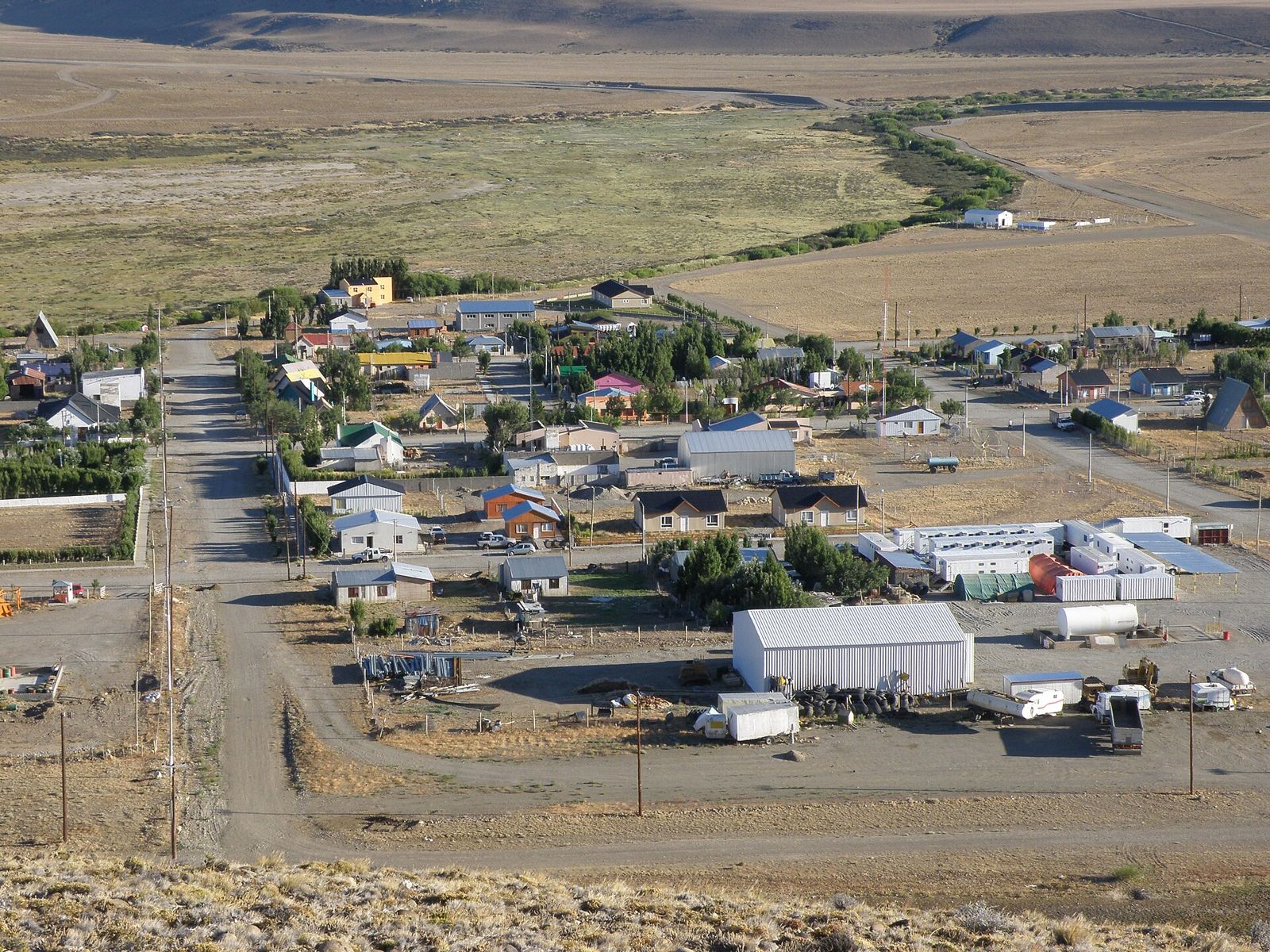
Photo: alvaro errandonea · CC BY 3.0 · Wikimedia Commons
Andes · Route 40
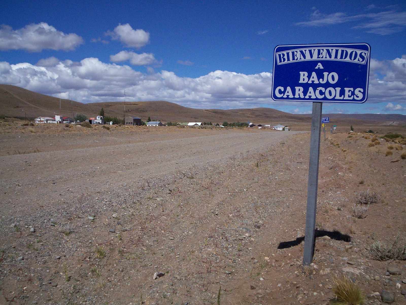
Tres Lagos
A rural village at the junction for lakes Viedma, Tar and San Martín, with Piedra Clavada and a petrified forest.
South & coal basin
The provincial capital, Cabo Vírgenes and the mining towns on the Chilean border.
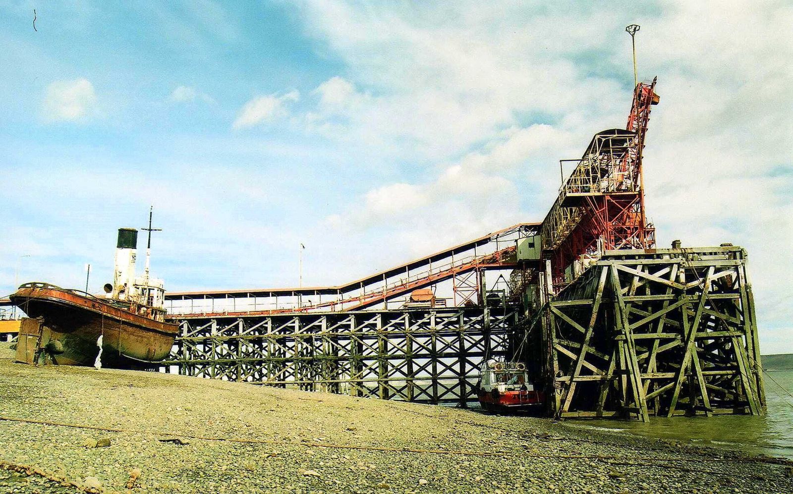
Photo: rodoluca · CC BY-SA 3.0 · Wikimedia Commons
South · Provincial capital
Río Gallegos
The provincial capital: an estuary with huge tides, museums, Arctic birds and the road to Cabo Vírgenes, where Route 40 begins.
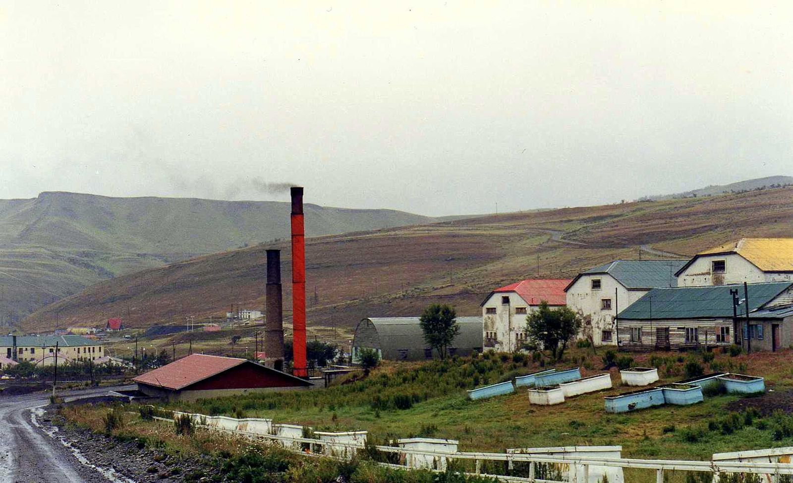
Photo: rodoluca · CC BY-SA 3.0 · Wikimedia Commons
South · Coal basin
Río Turbio
Argentina's National Coal Capital, right on the Chilean border, with snow in winter and 30 km from Puerto Natales.
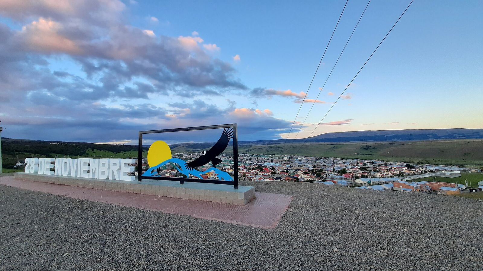
Photo: GsusESC · CC BY-SA 4.0 · Wikimedia Commons
South · Coal basin
28 de Noviembre
The other town in the coal basin: condors, forests and fishing at Puente Blanco.