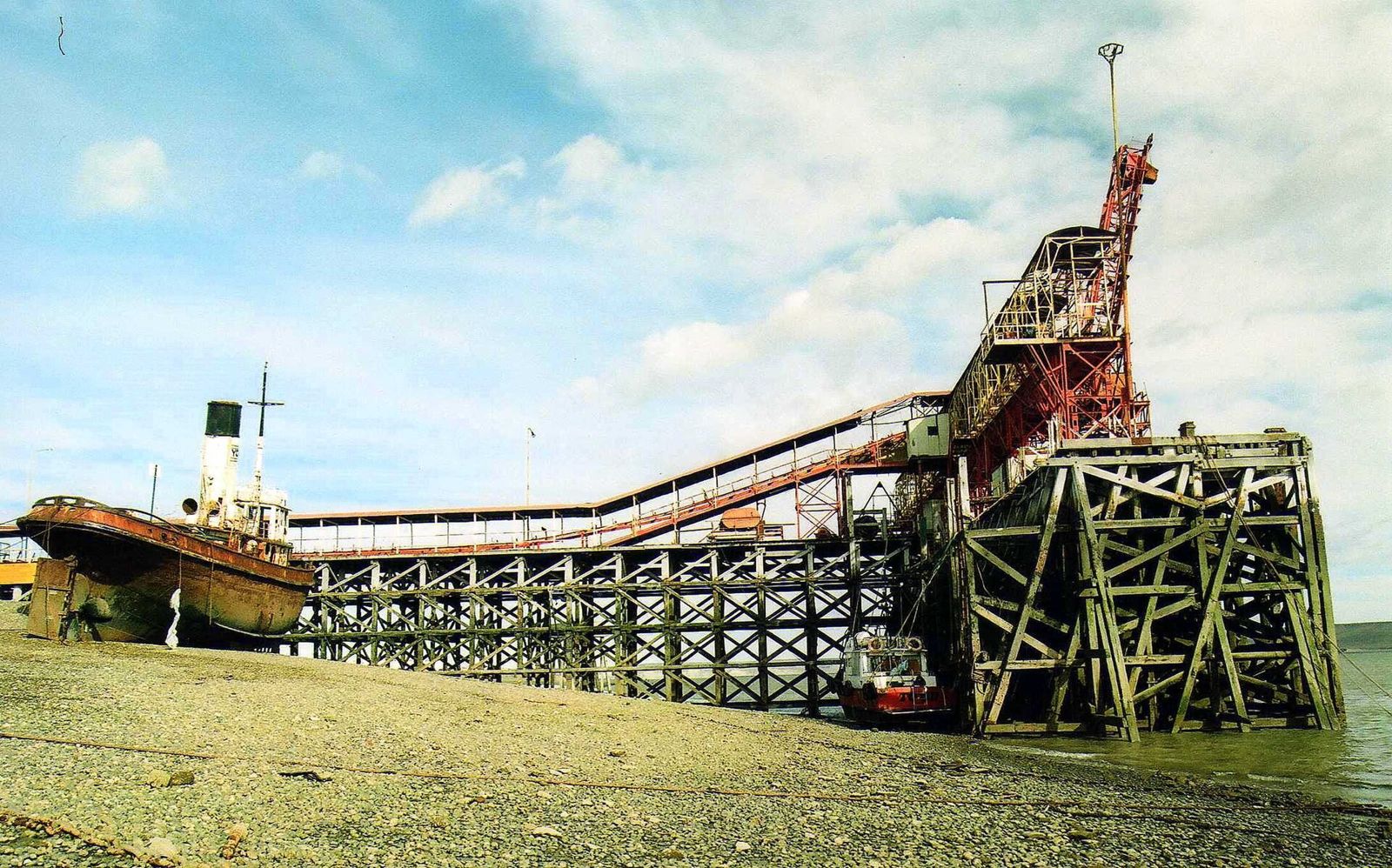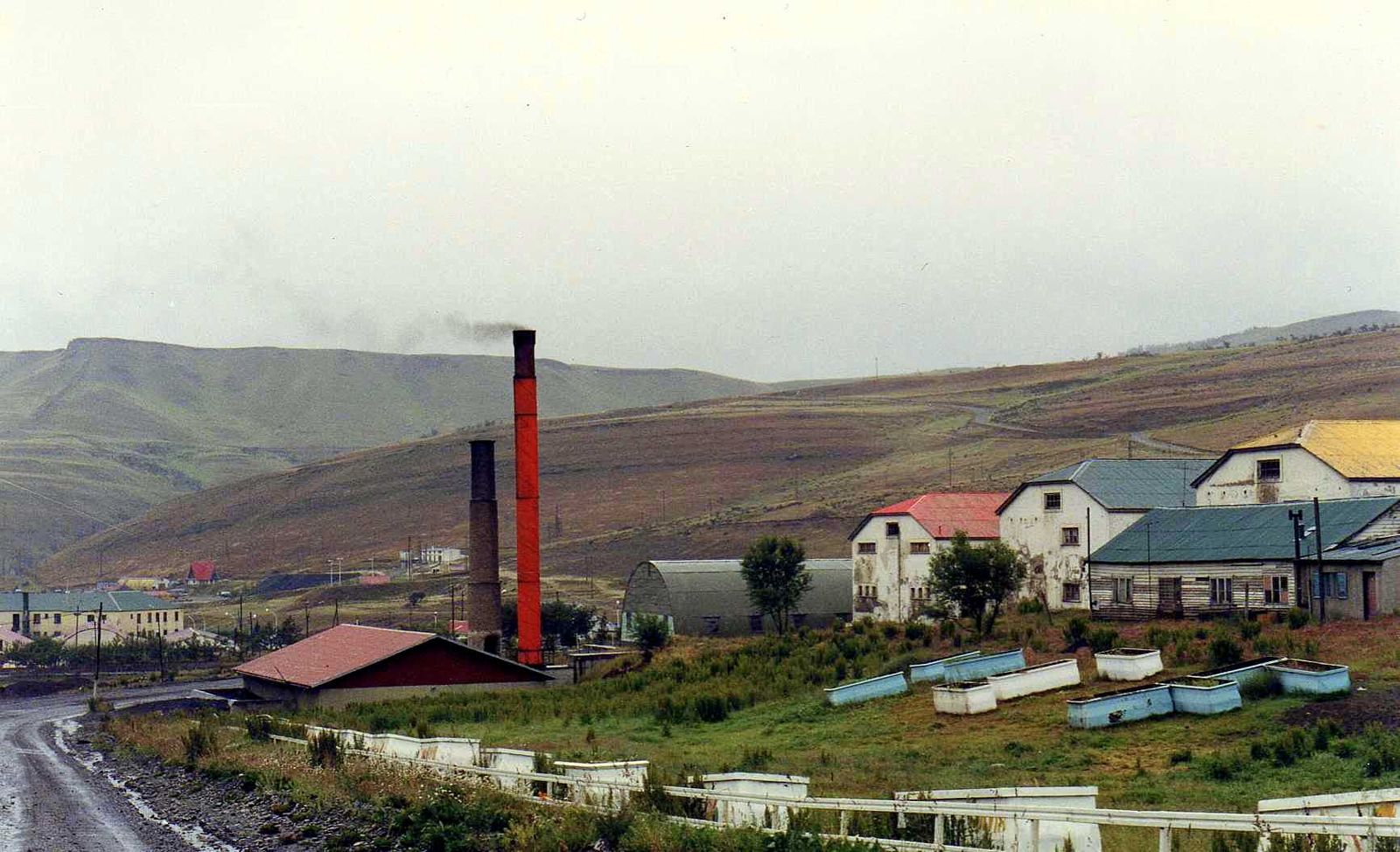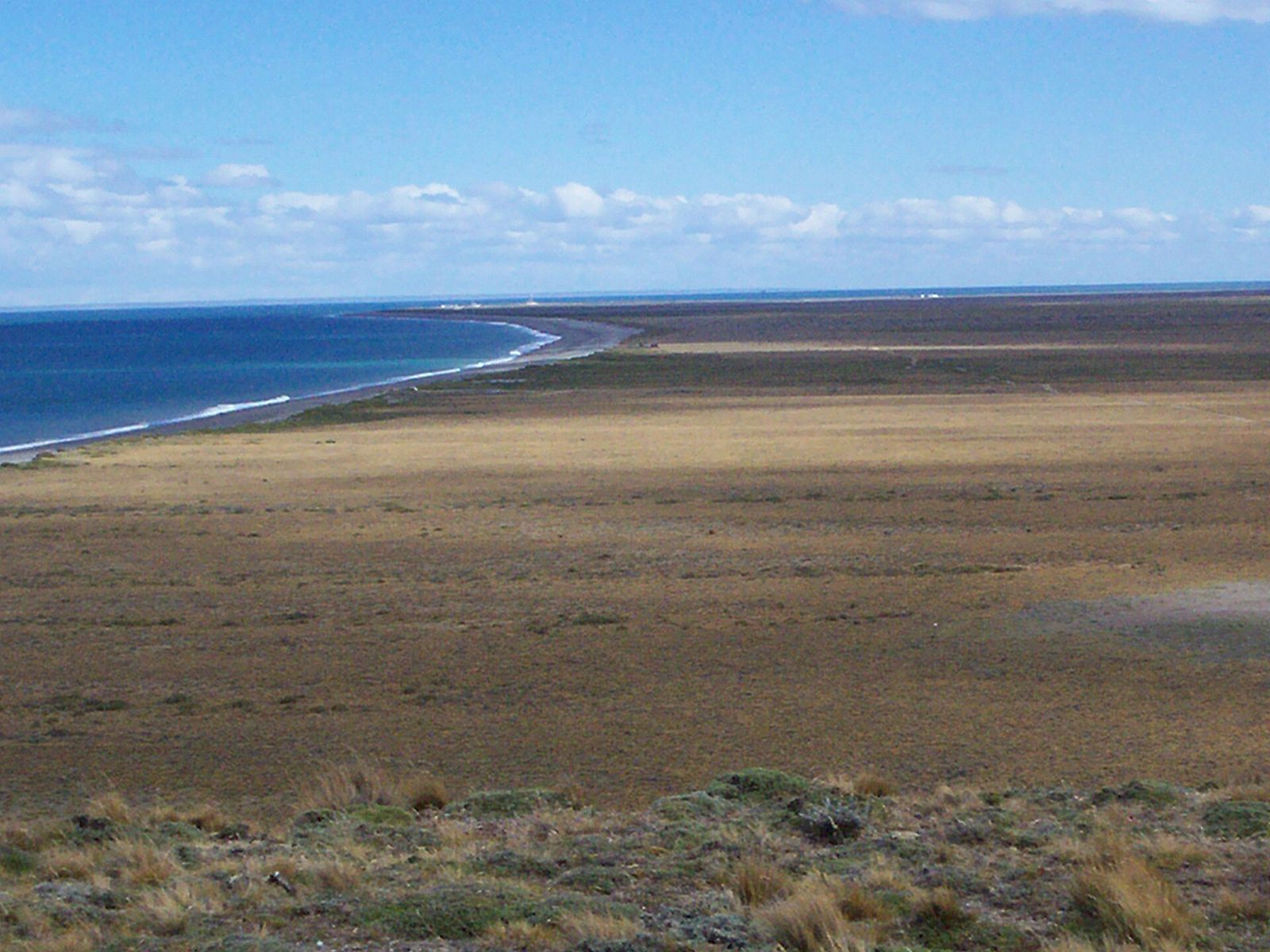
Cabo Vírgenes Provincial Reserve lies at the southern tip of the mainland, between Cabo Vírgenes and Punta Dungeness. According to SiFAP it covers 1,230 ha and protects the habitat of the Magellanic penguin and of the oreja de cordero, an endemic plant. Turismo Ruta 40 mentions more than 150,000 pairs nesting in summer.
What to see
- Kilometer 0 of Route 40, next to the lighthouse. Since 2004 the route has started here (previously at Punta Loyola).
- The Cabo Vírgenes Lighthouse, overlooking the mouth of the Strait of Magellan.
- The penguin colony, with a 1,500 m self-guided trail (SiFAP). You can also see skuas and giant petrels.
- The site of Ciudad Nombre de Jesús, which the province describes as the first fortification of the Spanish Empire in South America, and the story of the late-19th-century gold rush.
- The “Al fin y al Cabo” tea room and Estancia Monte Dinero, which the province mentions along the way.
Getting there
From Río Gallegos, about 16 km south on RN 3 and then RP 1, with 123 km of dirt road: 139 km in total according to SiFAP. The province has an official audio guide covering 134 km and about 3 hours, and recommends driving at 40 km/h on gravel. There's no fuel and no services along the way: fill up in Río Gallegos and bring water, food and warm clothing. Penguin season and road conditions: check before you travel at Turismo Santa Cruz – Audioguía Reserva Provincial Cabo Vírgenes.
Base: Río Gallegos. If you want to drive the whole of Route 40, see Route 40 in Santa Cruz: fuel, gravel and distances.